LiDAR Annotation
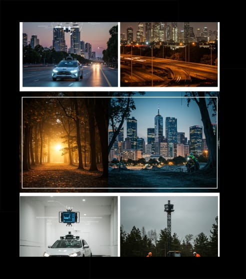
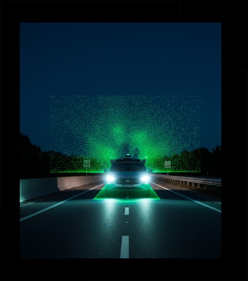
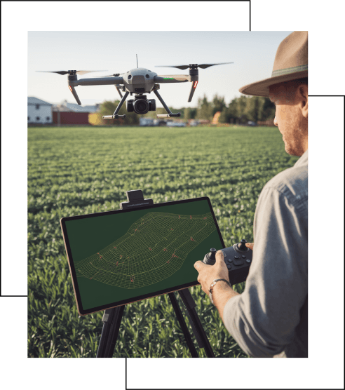
LiDAR annotation is used to label 3D point cloud data captured by LiDAR sensors, commonly employed in autonomous vehicles, robotics, and urban planning. It enables AI models to understand spatial data and detect objects in 3D environments. Annotation techniques include creating 3D bounding boxes to define object dimensions, semantic segmentation to label every point in the dataset, instance segmentation to differentiate overlapping objects, trajectory annotation for tracking movement in 3D space, and lane detection for self-driving vehicles.